Col de Port and Mur de Péguère from Foix
74 km · 1,750 m · Foix
- Base
- Foix
- Distance
- 74 km
- Elevation gain
- 1,750 m
- Difficulty
- Hard
- Type
- Loop
- Highest point
- Col de Péguère, 1,375 m
- Cols
- Col de Port (1,249 m), Col de Péguère (1,375 m), Col des Marrous (990 m)
- Season
- May–October
A typical Ariège day on narrow, wooded roads. The Col de Port from Tarascon is a long, pleasant climb (17 km at under 5 per cent) through the Saurat valley. After lunch in Massat comes the heart of the day: the Mur de Péguère, where the last 3–4 kilometres after the Col des Caougnous have sections of 12–18 per cent. The Tour de France has used this side only twice, in 2012 and 2017. The way home follows the beautiful Route Verte over the Col des Marrous and down through the Arget valley to Foix.
TipsAvoid the N20 between Foix and Tarascon; take the old parallel roads via Saint-Paul-de-Jarrat and Mercus. Cafés in Saurat and Massat, an auberge at the Col de Port. The Péguère wall is narrow and steep on the way down too, so ride it uphill. The Col de Port is open most of the year; the Péguère can have snow in winter. Low gears recommended (34x30 or lower).
Nearby
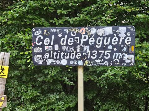 Col de PéguèreThe Mur's steepest metres above Foix
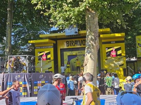 FoixA town with a castle, very charming – a favourite
 Grotte de BédeilhacThe cave where a plane landed
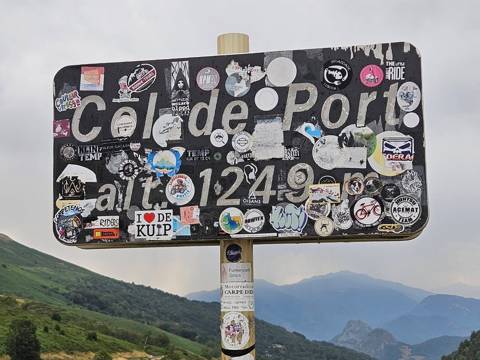 Col de PortThe col between Tarascon and Massat
%20%2C%20Tarascon%20sur%20Ari%C3%A8ge.jpg?width=500) Parc de la PréhistoireThe Stone Age for all the family
Parc de la PréhistoireThe Stone Age for all the family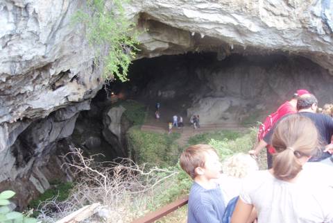 Grotte de LombrivesOne of Europe's largest caves
 Grotte de NiauxGenuine Stone Age paintings
 Grotte de la VacheThe Stone Age hunters' winter home
Cycling rides
- Gavarnie from Luz-Saint-Sauveur40 km · 700 m · Easy
- Cerdagne loop over the Col de la Perche55 km · 800 m · Easy
- Aubisque and Soulor from Laruns55 km · 1,550 m · Moderate
- Col de Marie-Blanque loop from Arudy60 km · 1,000 m · Moderate
- Col du Pourtalet to Formigal and Sallent82 km · 1,800 m · Moderate
- Port de Larrau and Pierre-Saint-Martin, French–Spanish loop127 km · 3,000 m · Very hard
- The Tourmalet from both sides72 km · 2,700 m · Hard
- Hautacam and Luz Ardiden102 km · 2,550 m · Hard
- Peyresourde and Aspin from Luchon88 km · 2,650 m · Hard
- The Tour's 65-kilometre stage: Luchon–Col de Portet65 km · 3,000 m · Hard
- Port de Balès and Peyresourde from Luchon88 km · 2,300 m · Hard
- The big Comminges loop: Ares, Balès, Menté and Portet d'Aspet133 km · 3,300 m · Very hard
- Latrape, Saraillé and Col d'Agnes from Aulus76 km · 1,950 m · Hard
- The Pailhères from both sides and Ax 3 Domaines75 km · 2,850 m · Hard
- Coll d'Ordino and Beixalís from Andorra la Vella62 km · 1,700 m · Moderate
- Port de la Bonaigua from Vielha46 km · 1,150 m · Moderate
- The queen stage Pau–Luchon (the Circle of Death in reverse)197 km · 4,800 m · Very hard