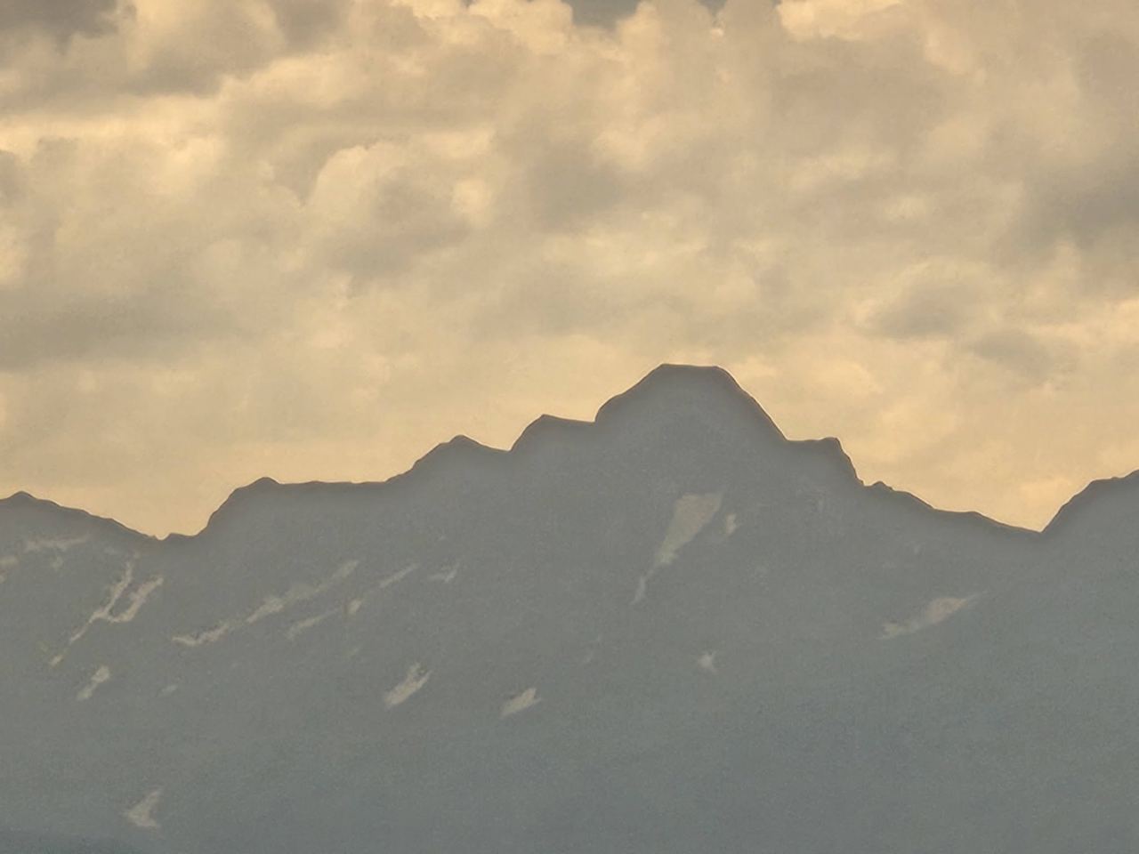
Mont Valier
The Couserans' legendary mountain
The 2 838-metre summit can be seen from large parts of Ariège, and on a clear day all the way from Toulouse. The mountain is named after Saint Valier, the first bishop of the Couserans, and there are many legends about it. The ascent starts from Bordes-sur-Lez via the Refuge des Estagnous and normally takes two days – for experienced hikers. The view of the Valier is best from the Col de Péguère, the Col de Port and the Col d'Agnes, especially in the evening light.
Ascent
- Height
- 2,838 m
- Massif
- Couserans
- Country
- Ariège, France
- Grade
- T4 · Very hard
- Days
- 2 days
- Season
- July–September
- Starting point
- Pla de la Lau (970 m), Couserans
- Mountain hut
- Refuge des Estagnous (2 246 m)
- Elevation gain
- approx. 1 900 hm
- Time
- approx. 6 h up
- First ascent
- according to legend, Saint Valier in the 5th century
The mountain is named after the first bishop of Couserans. During the Second World War, escape routes crossed the mountains here into Spain.
How to get up – the normal route step by step
- Day 1: from Pla de la Lau up to Refuge des Estagnous.
- Day 2: over Col Faustin and up the south side to the summit.
- Descend the same way to Pla de la Lau.
Day hike
- Starting point
- Pla de la Lau, Couserans
- Distance
- approx. 22 km return
- Elevation gain
- 1 900 hm
- Time
- two days
- Level
- Very hard
- Season
- July–September
The proud summit of the Couserans (2 838 m) – for the very fit over two days with a night at the Refuge des Estagnous. The view stretches from Aneto to the plain around Toulouse.
42.7980° N, 1.0870° E
Road trips passing here
Nearby
 Beret (Baqueira Beret)13 km · Val d'Aran, Lleida (Catalonia)
 Baqueira Beret17 km · Val d'Aran (Naut Aran), Lleida, Catalonia
- Tavascan (Pleta del Prat)17 km · Vall de Cardós (Lladorre), Pallars Sobirà, Lleida, Catalonia
 Guzet18 km · Ustou, Couserans, Ariège
- Cascade d'Ars19 km · One of the most beautiful waterfalls in the Pyrenees
- Aulus-les-Bains20 km · A spa village at the end of the valley
 Saint-Lizier23 km · A bishop's town with two cathedrals
- Col d'Agnes24 km · A high-mountain road between Lers and Aulus