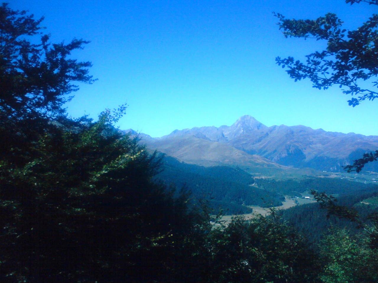
Col du Tourmalet & Pic du Midi
A legendary col – observatory and cable car
Cycling climb
- Height
- 2,115 m
- From
- Luz-Saint-Sauveur
- Distance
- 19 km
- Average gradient
- 7.4 %
From the 2014 guide – ThomasA legendary mountain pass. You can also walk up to the observatory or take the cable car from La Mongie on the eastern side.
The most-used col in the history of the Tour. The statue Le Géant du Tourmalet stands at the top in summer. The Pic du Midi (2 877 m) is reached by cable car from La Mongie – book ahead for a clear day, and bring a jacket.
Tour de FrancePart of stage 6 Pau – Gavarnie-Gèdre on 9 July 2026.
Ascent
- Height
- 2,877 m
- Massif
- Pic du Midi
- Country
- Hautes-Pyrénées, France
- Grade
- T2 · Moderate
- Days
- 1 day
- Season
- June–October
- Starting point
- Virage de Toue (approx. 1 944 m) on the road between Col du Tourmalet and Barèges
- Elevation gain
- approx. 890 hm
- Time
- approx. 5 h round trip
The summit is home to the observatory, built from the late 19th century onwards. In 1963 a NASA-funded telescope photographed the Moon from here ahead of the Apollo missions. Today you can take the cable car from La Mongie and even sleep on the summit.
How to get up – the normal route step by step
- From the hairpin up through the pastures to Lac d'Oncet.
- On up the zigzags to Col de Sencours and the final stretch to the observatory.
- Take the cable car down to La Mongie if your legs have had enough – check the times in advance.
SafetyAn easy mountain hike, but it gets cold and windy on the summit.
Other routes up
The cable car from La Mongie takes about 15 minutes to the top.
42.9086° N, 0.1453° E
Road trips passing here
Nearby
 Grand Tourmalet (La Mongie–Barèges)3 km · Haute-Bigorre and Pays Toy (Bagnères-de-Bigorre/Barèges), Hautes-Pyrénées
- Barèges – Cieléo7 km · Thermal baths at the foot of the Tourmalet
 Néouvielle – Lac d'Aumar8 km · The lake plateau with the highest pines in the Pyrenees
- Col du Portet11 km · The highest finish in the Pyrenees
 Pic Long13 km · The highest peak entirely in France, 3 192 m
- Espace nordique de Payolle13 km · Vallée de Campan, Hautes-Pyrénées
%202.jpg?width=500) Piau-Engaly14 km · Haute vallée d'Aure (Aragnouet), Hautes-Pyrénées
Piau-Engaly14 km · Haute vallée d'Aure (Aragnouet), Hautes-Pyrénées- Hautacam14 km · A summit-finish climb above Argelès-Gazost