
Aneto
The highest peak in the Pyrenees, 3 404 m
The roof of the Pyrenees rises in the Maladeta massif above Benasque in Aragon. The summit is reached across the Aneto glacier and the narrow rock ridge of Pont de Mahomet. From Plan de la Besurta and the La Renclusa hut you can see the whole massif.
Ascent
- Height
- 3,404 m
- Massif
- Maladeta
- Country
- Aragon, Spain
- Grade
- PD · Hard
- Days
- 2 days
- Season
- late June–September
- Starting point
- Plan de la Besurta (1 900 m), above Benasque – in summer the road is closed to cars for the last stretch and a bus runs from Llanos del Hospital
- Mountain hut
- Refugio de La Renclusa (2 140 m)
- Elevation gain
- approx. 1 260 hm from the hut
- Time
- 5–6 h up, 9–10 h round trip
- First ascent
- 1842 – Platon de Tchihatcheff and Albert de Franqueville with the guides Pierre Sanio, Bernard Arrazau, Pierre Redonnet and Jean Sors
Pont de Mahomet, the last narrow ridge before the summit, was named by Franqueville after a Muslim legend that the path to paradise is as narrow as the edge of a sabre. The glacier has shrunk from over 100 hectares in 1981 to around 30 hectares in 2025, and scientists believe the Pyrenean glaciers could be gone within a decade.
How to get up – the normal route step by step
- Day 1: from Plan de la Besurta, a good hour up to La Renclusa. Early dinner and early to bed.
- Day 2: set off before dawn and climb through the boulder fields to Portillón Superior (approx. 2 870 m), the notch in the ridge.
- Put on crampons and rope up, then cross the Aneto glacier towards Collado de Coronas. The crevasses are hard to see when there is snow.
- A steep snow slope leads up to the fore-summit. From there you cross Pont de Mahomet – an exposed rock ridge just under 30 metres long (II) – to the summit cross.
- Descend the same way. Be back on the glacier before midday, when the snow turns slushy and the thunderstorms arrive.
Other routes up
From the south a route runs from the Vallibierna valley via the Coronas lakes, with less glacier but a longer approach.
42.6322° N, 0.6578° E
Nearby
 Maladeta2 km · The cursed mountain, 3 308 m
 Llanos del Hospital7 km · Valle de Benasque, Huesca (Aragon)
 Cerler11 km · Valle de Benasque, Huesca, Aragon
 Val d'Aran14 km · Catalonia's valley on the Atlantic side
- Vallée du Lys & Cascade d'Enfer15 km · The valley of waterfalls near Luchon
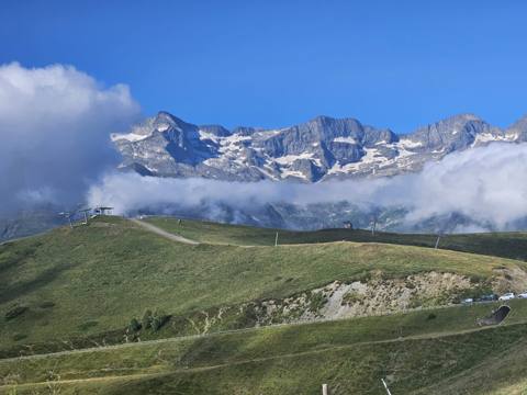 Superbagnères15 km · Gondola or bike up from Luchon
 Lac d'Oô16 km · A mountain lake with a waterfall near Luchon
- Bagnères-de-Luchon18 km · Spa and mountain town, often a TdF finish